
Recoleta topographic map
Interactive map
Click on the map to display elevation.
About this map
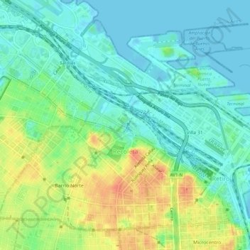
Name: Recoleta topographic map, elevation, terrain.
Location: Recoleta, Autonomous City of Buenos Aires, Argentina (-34.59977 -58.41598 -34.56663 -58.37073)
Average elevation: 16 m
Minimum elevation: -3 m
Maximum elevation: 47 m