
Ocotlán topographic map
Interactive map
Click on the map to display elevation.
About this map
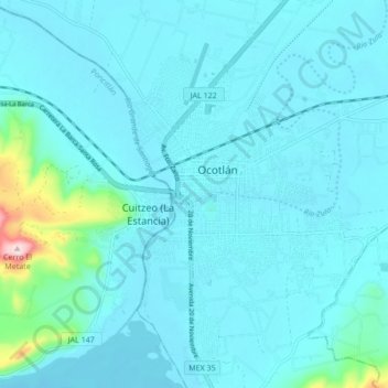
Name: Ocotlán topographic map, elevation, terrain.
Location: Ocotlán, Jalisco, 47830, Mexico (20.19145 -102.92881 20.51145 -102.60881)
Average elevation: 1,570 m
Minimum elevation: 1,515 m
Maximum elevation: 2,207 m