
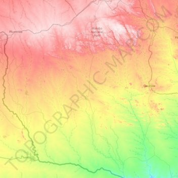
Matobo topographic map
Interactive map
Click on the map to display elevation.
About this map
Name: Matobo topographic map, elevation, terrain.
Location: Matobo, Matabeleland South, Zimbabwe (-21.71522 28.18765 -20.22282 28.78864)
Average elevation: 1,042 m
Minimum elevation: 663 m
Maximum elevation: 1,556 m