
Arbutus topographic map
Interactive map
Click on the map to display elevation.
About this map
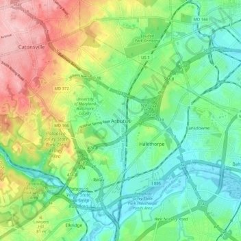
Name: Arbutus topographic map, elevation, terrain.
Location: Arbutus, Baltimore County, Maryland, 21227, USA (39.20968 -76.72771 39.28968 -76.64771)
Average elevation: 53 m
Minimum elevation: -1 m
Maximum elevation: 163 m