
Tureia topographic map
Interactive map
Click on the map to display elevation.
About this map
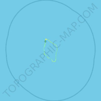
Name: Tureia topographic map, elevation, terrain.
Average elevation: 0 m
Minimum elevation: 0 m
Maximum elevation: 12 m
Other topographic maps
Click on a map to view its topography, its elevation and its terrain.
Tematangi
France, Polynésie française (eaux territoriales) > French Polynesia > Tureia
Tematangi, Tureia, Tuamotu-Gambier, French Polynesia, 98784, France, Polynésie française (eaux territoriales)
Average elevation: 0 m