
Pruszków topographic map
Interactive map
Click on the map to display elevation.
About this map
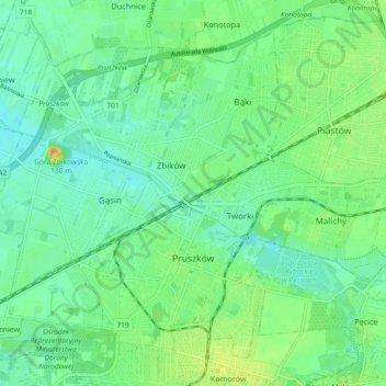
Name: Pruszków topographic map, elevation, terrain.
Location: Pruszków, Pruszków County, Masovian Voivodeship, Poland (52.14807 20.75313 52.19595 20.84492)
Average elevation: 99 m
Minimum elevation: 87 m
Maximum elevation: 123 m