
Hilversum topographic map
Interactive map
Click on the map to display elevation.
About this map
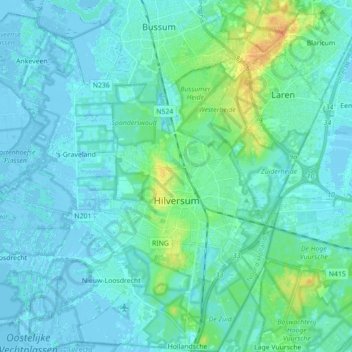
Name: Hilversum topographic map, elevation, terrain.
Location: Hilversum, North Holland, Netherlands (52.17768 5.10201 52.28555 5.21896)
Average elevation: 5 m
Minimum elevation: -4 m
Maximum elevation: 31 m