
Thank you for supporting this site ❤️
Make a donation
Make a donation
Friedberg (Hesse) topographic map
Click on the map to display elevation.
Thank you for supporting this site ❤️
Make a donation
Make a donation
About this map
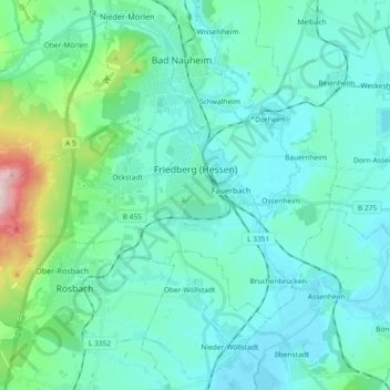
Name: Friedberg (Hesse) topographic map, elevation, terrain.
Location: Friedberg (Hesse), Wetteraukreis, Hesse, 61169, Germany (50.28979 8.63653 50.36448 8.82119)
Average elevation: 173 m
Minimum elevation: 115 m
Maximum elevation: 506 m
Thank you for supporting this site ❤️
Make a donation
Make a donation