
Arévalo topographic map
Interactive map
Click on the map to display elevation.
Arévalo
It is located at an altitude of 820 meters and is near the junction of the two rivers Adaja and Arevalillo. Its encompassed area is 46.07 km2 and its population is 13.122. In medieval times, it was the head of the agricultural sector (Comunidad de Villa y Tierra) of the same name.
About this map
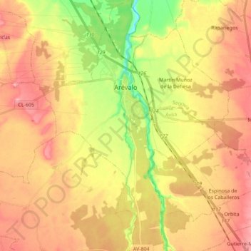
Name: Arévalo topographic map, elevation, terrain.
Location: Arévalo, Ávila, Castile and León, 05200, Spain (40.97930 -4.77608 41.10759 -4.65959)
Average elevation: 845 m
Minimum elevation: 780 m
Maximum elevation: 894 m
Other topographic maps
Click on a map to view its topography, its elevation and its terrain.