
Ersnäs topographic map
Interactive map
Click on the map to display elevation.
About this map
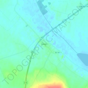
Name: Ersnäs topographic map, elevation, terrain.
Location: Ersnäs, Luleå kommun, Norrbotten County, 975 92, Sweden (65.50905 21.77463 65.54905 21.81463)
Average elevation: 9 m
Minimum elevation: -3 m
Maximum elevation: 51 m
Other topographic maps
Click on a map to view its topography, its elevation and its terrain.